
A paper map edge, a snapped photo, and a quick sun check have saved me from more than one bad line in the woods.
Calibrate your map to your eyes, not your app
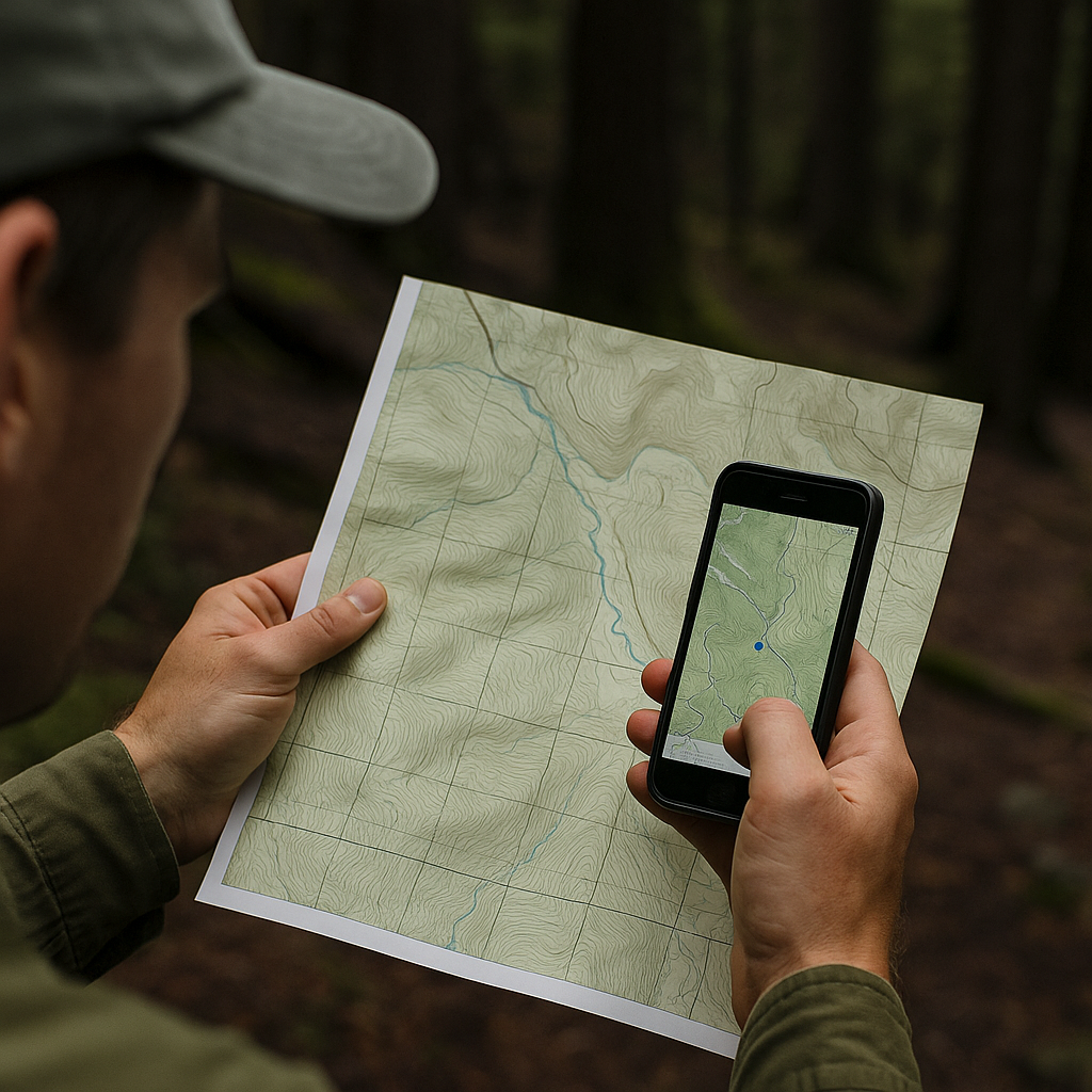
I used to treat my phone like it was the referee: blue dot says I am here, therefore I am here. Then I started hiking in places where the trail braids, logging roads spider out, and the canopy is thick enough that GPS accuracy swings from “pretty good” to “your dot is in the creek.” Now, before I commit to a line, I do a quick analog calibration that sounds old-school but is faster than backtracking.
First, I set the paper map (or printed USGS quad) in front of me and orient it to the terrain, not to north by habit. I’ll physically rotate it until the ridge lines and drainages in front of my face match what I’m seeing. This is the part that’s hard to fake: when the map is oriented correctly, the valley that feels like it’s dropping away on your left will also drop away on the left side of the page. If it doesn’t, I keep rotating until it clicks.
Then I pick one “edge” that’s hard to argue with. A lake shoreline. The main river. A long, obvious ridgeline. Trails come and go, cairns vanish, and tread disappears under needles, but water and big topography are stubborn. I’ll say out loud, quietly, “I’m between this creek and this spur ridge,” and I’ll check that against the contour lines. If I’m on a bench, the map should show a bench. If the map shows steep contours but I’m strolling on flat ground, I don’t keep walking and hope it sorts itself out.
Only after that do I open Gaia GPS or OnX Backcountry and compare the GPX to the terrain picture I just built. If the track wants me to cut across a drainage that would require a sketchy sidehill, I don’t care how pretty the line looks on-screen. I stay married to what the land is telling me. This isn’t “ditch your phone.” It’s “make the phone earn your trust.”
The two-photo breadcrumb that beats a dropped pin
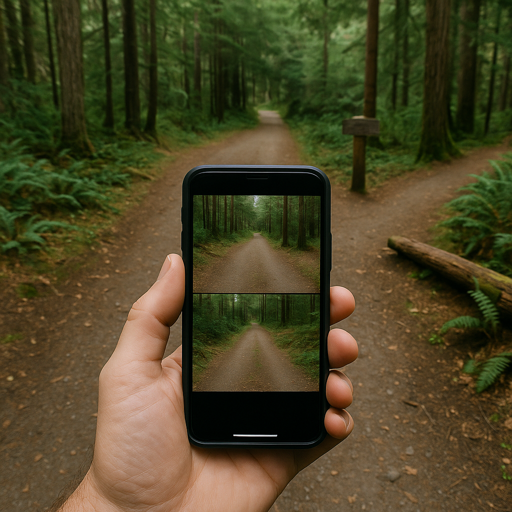
Waypoints are great until you’re cold, your phone is at 8%, and you realize your “Junction” pin is sitting on top of six intersecting lines. The fix I’ve come to trust is embarrassingly simple: I take two photos at every confusing decision point, and I treat those photos as my return route. Not artsy photos. Evidence.
Photo one is the “approach” shot. I stand 15 to 30 feet before the junction and shoot straight down the tread I’m currently on, with the junction visible ahead. I try to include something that won’t move: a big boulder, a blown-down log, a trail sign (if it exists), even a distinctive snag. If it’s snow season and everything is blank, I’ll frame a ridgeline in the background so I can match it later when the light has shifted.
Photo two is the “commitment” shot. I step onto the branch I’m taking, turn around, and photograph the way it looks looking back toward where I came from. This is the view that matters when you’re returning, and it almost never matches what your brain recorded on the way in. A side trail that looked obvious forward can look like nothing at all when you’re descending and moving faster. I’ll also zoom once and catch any subtle marker: a faded blaze, a cut stump, the way the tread dips behind a clump of salal.
I don’t rely on cell service for this, and I don’t need a dedicated GPS unit. The photos are stored locally, and the timestamps help if I’m trying to reconstruct when I passed a point. If you want to get fancy, make sure your phone is saving location data in photos (on iPhone it’s in Settings > Privacy & Security > Location Services > Camera). But even without geotags, the visual “this is what it looked like” is shockingly effective. Later, when the trail braids into game paths and old skid roads, I can stop, pull up the exact junction view, and match it like a puzzle instead of arguing with my own memory.
Use the sun as your sloppy compass on bailout hikes
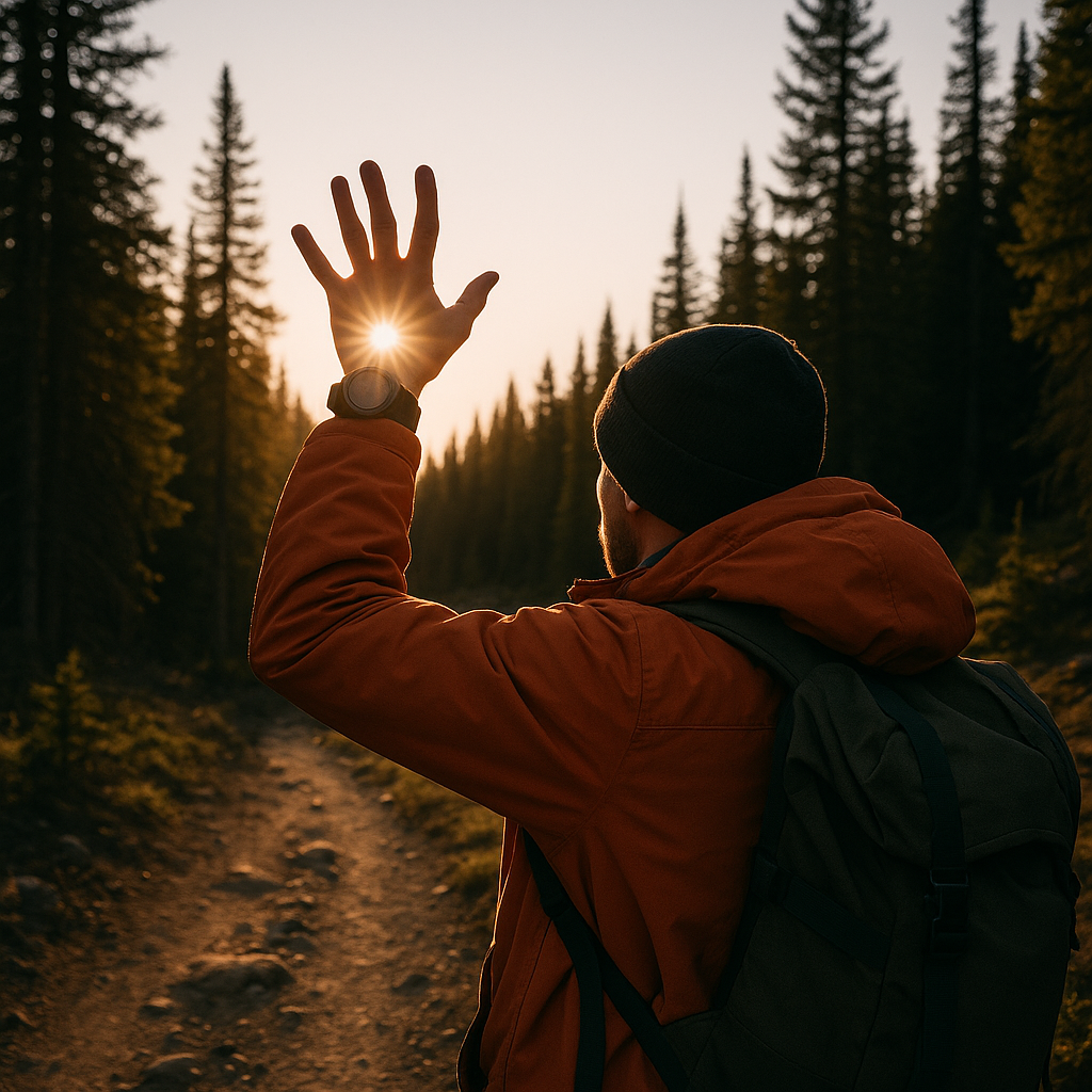
There’s a specific kind of trail problem that doesn’t require “navigation mastery.” It requires you to not do something dumb while you’re bailing out. You’re behind schedule, the weather is turning, and the trail you planned to take is either sketchier than expected or simply not there. In those moments, I’m not trying to shoot a crisp compass bearing like I’m in an orienteering race. I’m trying to keep my general direction honest, especially when a maze of old roads and faint tread makes it easy to drift.
The quickest check I use is the sun. Not in a “survival instructor” way, just a practical gut-check that keeps me from walking the wrong drainage. Before I start my bailout, I stop and note where the sun is relative to my body and my route plan. If I know I need to get back to a trailhead that’s generally west, and the sun is dropping toward my left shoulder in late afternoon, that’s comforting. If the sun is suddenly in my face and I’m supposedly heading west at 4:30 p.m., I slow down and re-check the map because something’s off.
This works best paired with one firm reference. I’ll pick a long feature that should stay on one side of me: a creek, a ridgeline, a powerline cut, even the sound of a highway if I’m near civilization. Then I use the sun as the “sloppy compass” that keeps that feature where it belongs. If the creek that should be on my right is now on my left and the sun has swung to a place that doesn’t match the time, I’m probably following a logging spur that’s gently bending me away.
I’ve done this with a Suunto wrist compass too, but the sun check is faster because it doesn’t invite overconfidence. It’s a sanity filter. It’s also why I glance at sunset time before I leave the car and keep a cheap headlamp in my hip belt, even on “easy” hikes. The sun’s position tells you what direction you’re trending. Sunset tells you how long you can afford to be wrong.