When your dot drifts, try a terrain trap, a leash line, or a deliberate reset before you wander into the wrong drainage.
Build yourself a terrain trap, not another guess
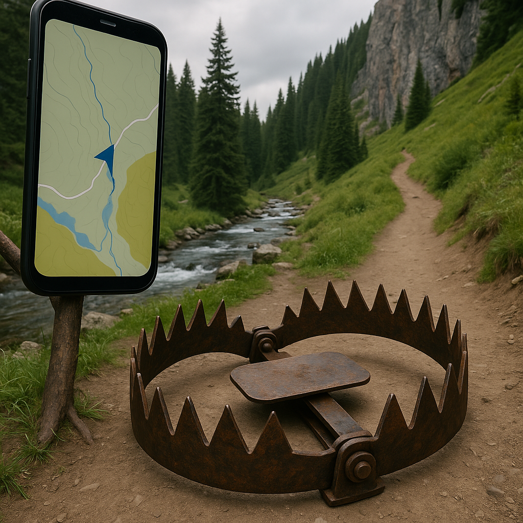
When my phone starts doing that polite little wobble where the GPS arrow spins like it is thinking, I stop treating the map like a scavenger hunt and start building a trap out of the terrain. The goal is simple: pick a feature you cannot accidentally cross, then use it as a boundary while you relocate the tread.
On a real trail, the easiest traps are things that bite: a creek you do not want to ford, a steep sidehill, a cliff band, a fenceline, or the obvious break where the trees turn into talus. Look at your topo (even a basic Gaia GPS topo layer will do) and choose a feature that runs roughly parallel to where you should be. Now put that feature on your “wrong side.” If the route should be above the creek, decide: I will not drop below that creek. If the route should stay on the ridge, decide: I will not commit into the drainage.
Then you move in a tight, boring pattern. I like 30 to 60 yards at a time, because that is far enough to see a different angle on the slope but short enough that you are not committed. Pause, look back, and scan for the stuff that looks like human passage: cut branches, sawn logs, old blazes, compacted dirt with pebbles pressed in flat, and that faint “bench” where a trail was cut into the hillside years ago. If you are in duff, a real tread often shows as a slightly darker, more matted strip. If you are in scree, it is the opposite: a lighter stripe where rocks got kicked clean.
The trap is what keeps you from doing the classic mistake: chasing a false line downhill because it feels easier. I have watched good hikers drift into the wrong gully because the grade is nicer, and then they spend an hour climbing back out when the “trail” turns into deer paths and deadfall. If you choose a boundary first, you can be stubborn in the right direction. You are not proving you can bushwhack, you are buying yourself a controlled search area.
Use a leash line: a short bearing you can hold on a sidehill
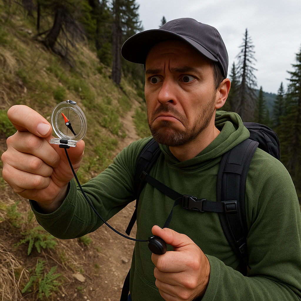
I carry a tiny Suunto A-10 even on “phone map” hikes, mostly because of one move: the leash line. This is not the big heroic compass march across a blank map. It is a short, practical bearing you can keep while you sidehill through brush, snow, or blowdowns without slowly curling into nowhere.
Here is when it shows up for me: the GPX track says the trail traverses at a steady contour, but on the ground the slope is lumpy, your feet keep getting pulled downhill, and every path you see trends the wrong way. You can feel yourself getting lower even if you are not thinking about it. That is drift.
Pull up your map and find a point ahead that is easy to recognize in the real world. It might be where the contour pinches into a little rib, the point where a side drainage cuts in, or a switchback that should exist even if you cannot see it yet. If you have the trail’s general direction, set a bearing that matches that traverse. Now the “leash” part: do not try to walk it for half a mile. Walk it for 2 to 4 minutes. That is it.
While you walk, you pick intermediate targets you can hit without constantly staring at the needle. A pale snag, a boulder the size of a fridge, a clump of firs, a rock outcrop. Step to that, re-check, pick the next. If the hillside is steep, you will feel the temptation to angle down to make it easier. The leash line is what you hold when your legs vote for comfort.
After a few minutes, stop and reassess with the map. If you were supposed to intersect a side drainage and you did, great, you just confirmed location with something the GPS cannot “wiggle.” If you did not, you just learned something too: either the drainage is faint (common late summer), or you are not where you thought. Either way, you have moved in a controlled direction without the lazy downhill slide that turns a small miss into a big one.
This sounds fussy until you have done it in wet brush where turning around is miserable. I will take five minutes with a compass over forty minutes of “maybe it is over there” any day.
Do a full stop reset: pack off, map open, snack in hand
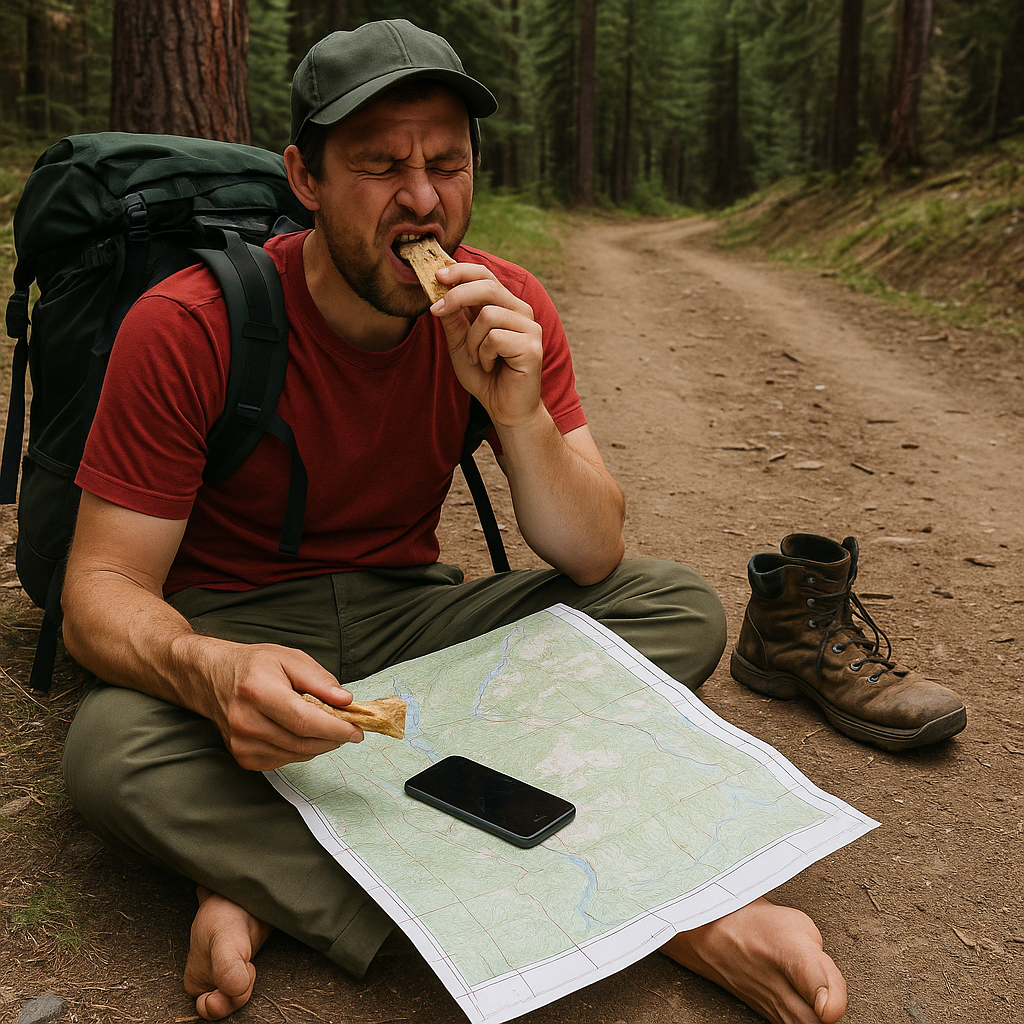
There is a moment on a confusing trail where you can feel your decision-making get weird. You start walking to “see if it goes somewhere,” you check your phone every twelve steps, and you get annoyed at the map like it is being rude on purpose. That is my cue to do the full stop reset. Not a quick pause. A small, intentional ritual.
I drop my pack, sit down, and take my shoes off if they are hot. That last part sounds dramatic, but it forces me to stop fidgeting and commit to thinking. I open the map app (Gaia, CalTopo, OnX, whatever you use) and I switch to airplane mode for a minute if service is spotty, because constant searching eats battery and makes the phone warm. While I am doing that, I eat something that is not a “treat,” just calories. A squished Clif Bar is fine. I drink water. Two minutes later, the problem looks different.
Now I do three checks in a fixed order so I do not spiral. First: what is the last place I am 100% sure about? A junction sign, a bridge, a switchback, a campsite. Second: what is the next feature I should hit even if the trail is faint? A creek crossing, the top of the climb, the saddle, the ridge crest. Third: what is the simplest line between those points that the terrain will allow? Not the “best” line, the simplest.
Then I make one small commitment. I will walk to the next obvious feature and only that. If it is a creek and I cannot find a safe crossing where the track says, I do not start inventing new routes. I walk up and down the bank within sight lines, looking for boot prints, cut logs, or that little bit of gravel scuffed up on the far side where people step out. If it is snow, I look for older kicked steps that have rounded off, and I watch how the slope loads. If it is open granite, I look for the subtle polish where thousands of soles went the same way.
Resetting like this is less about “calm” and more about not burning daylight and battery on anxious movement. I have had the blue dot jump 60 yards sideways under heavy canopy, then snap back the second I stopped moving. Standing still is sometimes the best sensor calibration you get for free.