
Three field-tested moves for when tread vanishes: drop a waypoint, reroute on the fly, and get back to your line without wandering.
Drop a waypoint the second you start debating
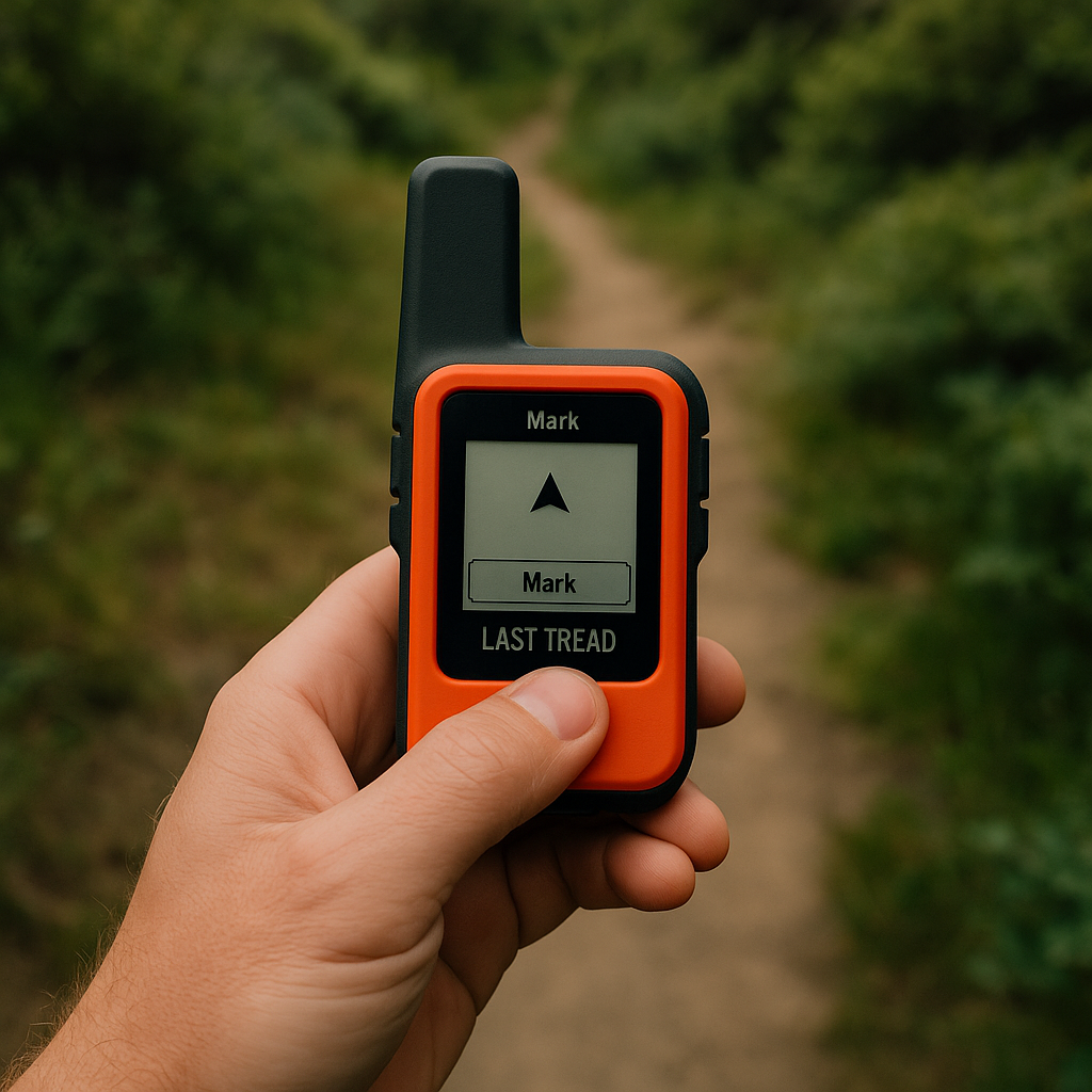
I used to wait until I was fully confused to mark anything, which is exactly backwards. The moment you catch yourself doing the little trail math ("It should be just over this rise" plus "but the tread feels wrong"), stop walking and hit Mark. On a Garmin inReach or a handheld GPSMAP, it is one button. In Gaia GPS or onX Backcountry, it is two taps, but you can set a quick-add widget so you are not fumbling in the wind. Name it something stupid-simple like LAST TREAD or FENCE GAP. That waypoint is your receipt. It is the cleanest breadcrumb you will leave all day, and it gives you permission to explore for two minutes without quietly drifting into a 40-minute detour.
Where this shines is in those in-between zones: snow patches that swallow the path, blowdown mazes, sandy washes that braid into three channels, or that spot where a social trail peels off toward a view. You can poke into the options, then snap back to the waypoint and restart the decision from a known point. I also like to mark the spot where I leave a maintained trail to start a cross-country section, even if I feel 100% confident at the time. Confidence has a short shelf life when the light flattens and everything turns the same shade of gray-green.
One practical detail: set your device to show distance and bearing to the waypoint on the nav screen. When you wander, you can glance down and see "0.12 mi" instead of arguing with yourself about whether you are "close." If you are in airplane mode to save battery, keep your phone awake for the 10 seconds it takes to save and confirm the point. I have lost waypoints before by locking the phone mid-tap. That feels dumb, and it is also avoidable.
Use your track log like tape on the floor
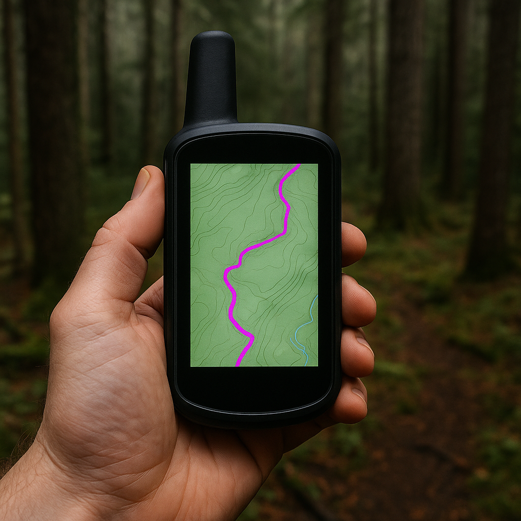
Most people treat recording a track like an afterthought, something for Strava later. On a confusing route, your live track is basically painter's tape in the woods. Before I even leave the trailhead, I make sure the track log is on and visible (thicker line, high-contrast color). In Gaia GPS I bump it to bright magenta; on Garmin I set "Current Track" to show on the map. It is hard to overstate how calming it is to know you can reverse your exact steps without needing to re-solve the problem you just solved.
Here's the move: when the trail dissolves, I do not keep wandering while staring at the topo layer like it owes me money. I walk with my eyes up, pick the safest micro-route through whatever is in front of me (scree, brush, wet rock), and let the device quietly paint my line. After a minute or two, I stop and zoom out just enough to see the shape of what I did. If I made a weird hook, I do not try to "fix" it by cutting a straight line through unknown terrain. I follow my own tape back to the last clean spot, then try a different branch. That habit has saved me in shoulder-season snow where the tread is there, but only in theory.
A couple of field notes that only show up after you have cursed at a phone on a windy ridge: turn off auto-rotate so the screen does not spin every time you shift your stance, and lock your map orientation to north-up if you get disoriented by the map twirling. Also, set a sane recording interval. If you record too infrequently, your track turns into a zigzag of lies, especially in tight terrain. If your app lets you choose, "every 1 second" or "high" is my preference for navigation days. It uses a little more battery, but I would rather carry a small power bank than pretend a sparse breadcrumb trail is useful when I need to thread back through blowdowns.
Reroute around trouble with a quick bearing to a catch feature
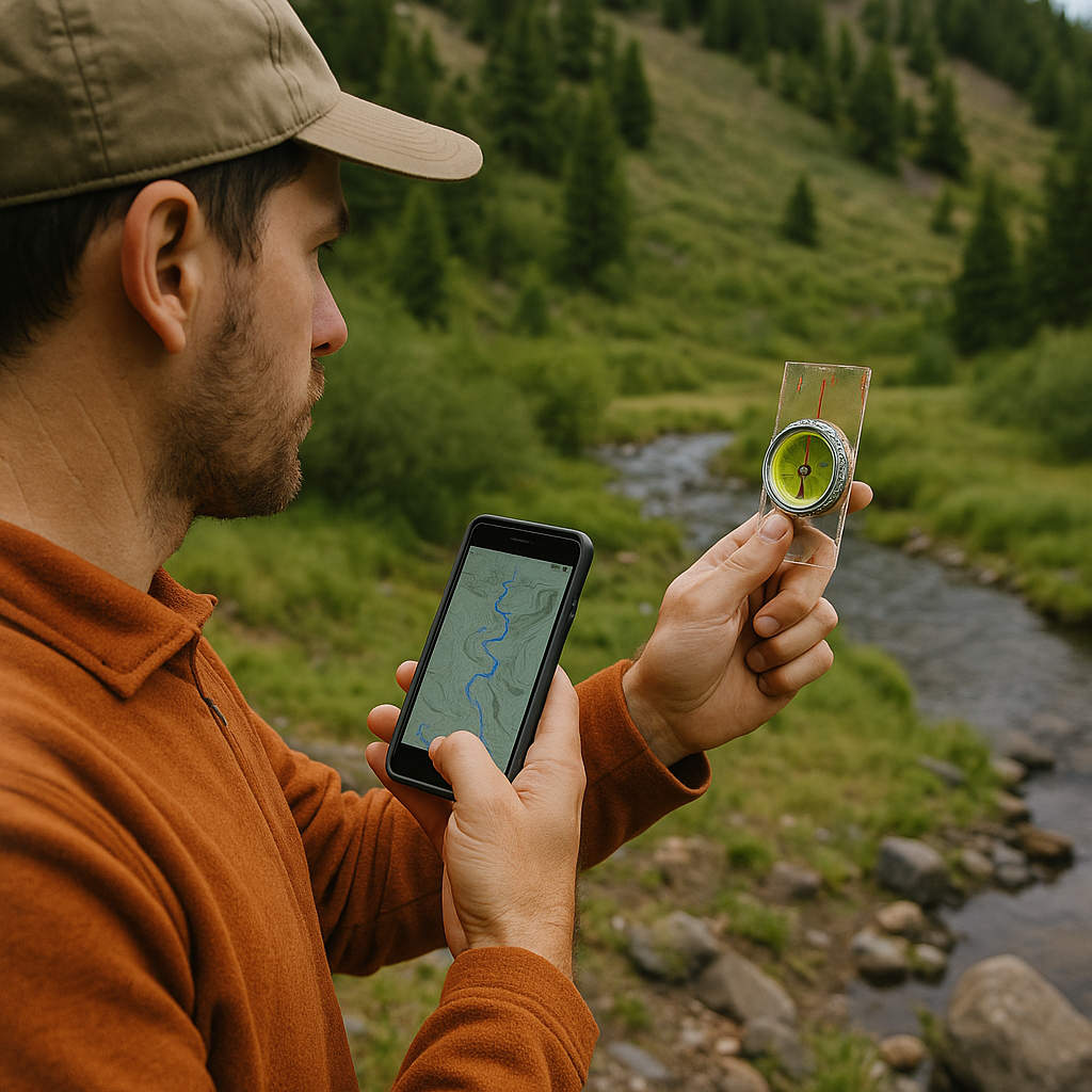
There is a moment on a lot of hikes where you can either fight the "correct" line or choose a safer, cleaner line and accept you are going to reconnect later. The trick is doing it on purpose. When I need to detour, I pick a catch feature first: a creek you cannot miss, a ridge crest, a road cut, a lakeshore. Then I take a quick bearing or visual line to a point on that feature, and I walk it like I mean it.
Example: the route on my GPX track crosses a slope that is loose and ugly after rain. I will not sidehill on marbles just because the line on my phone says so. I look at the topo and choose to drop 150 to 300 feet to the drainage bottom where the footing is better and the navigation is simpler. I will literally say out loud, "We are going to the creek, then we turn left upstream until we meet the track." On a phone, I will set a temporary pin on the creek bend I want, then use the app's bearing/heading line. On a compass, I shoot a bearing and pick an obvious intermediate landmark, like a lone fir or a pale boulder, so I am not staring down at a needle every ten steps.
The culture piece here is that GPX lines are not gospel. They are somebody else's solution from some other day, in some other conditions, with some other tolerance for sketch. A good Trails & Walkthroughs habit is being willing to deviate, but keeping it tight: pick the catch feature, keep your detour short, and keep checking your elevation against the topo so you do not drift into the wrong drainage. When I reconnect, I do not just celebrate and march on. I zoom out, confirm the track direction, and make sure the line I am following is my intended route, not yesterday's dog-walker shortcut that happens to be nearby. That last mistake is way more common than people admit.