
Three field-tested ways to re-find the line: pole probes, a slope-angle gut check, and an emergency micro-route card.
Trekking-pole probes to find the hidden tread
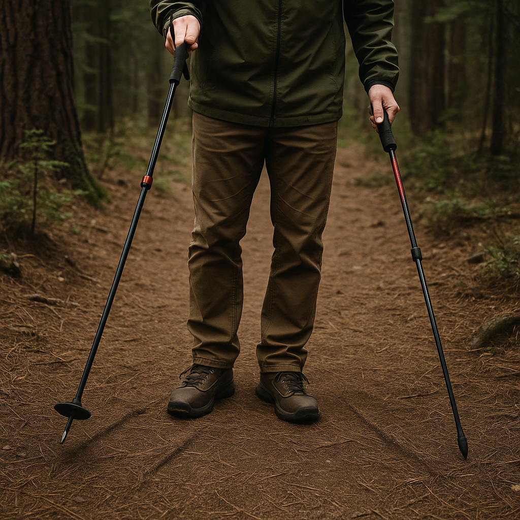
When the tread "vanishes," a lot of the time it did not vanish at all. It just stopped being visually obvious because pine needles filled it, the light got flat, or the trail braided into faint options. This is where trekking poles earn their keep as more than knee insurance. I stop, shorten both poles a notch, and use them like feelers. Not stabby, angry pokes. Think: gentle, consistent taps in a 3 to 4 foot arc in front of my boots while I stand still.
On a real trail, the hidden tread has texture. A compacted line feels springy in a different way than loose duff. You will hear it too. Pole tips on packed dirt make a sharper "tik" than tips on leaf litter, which is more of a soft "thup". If you're on decomposed granite, the tread sounds crisp and the sides sound like pouring sugar. Do it in a methodical sweep: left, center, right, then one step forward only when you've got a repeatable "center" feel. The goal is not to discover the whole route, it's to find the next 10 yards with confidence.
I also use the poles to read micro-edges. A lot of trails have a tiny berm where feet have pushed dirt outward. If you drag the tip lightly across the surface (like you're drawing a line in flour), the berm will catch and the tip will bounce. No berm, no bounce. It sounds silly until you're in a burned area with ash and every footprint looks like a clue from 20 minutes ago.
If you want to make it even more idiot-proof, flip one pole so the carbide tip is down, and the other so the basket is doing the work. The basket skims and snags on brush and roots along the tread's edge, while the tip finds the harder center. When the two disagree, I trust the basket. It is way better at catching the "trail edge" than your tired eyes are.
Do a slope-angle sanity check before you chase a false path
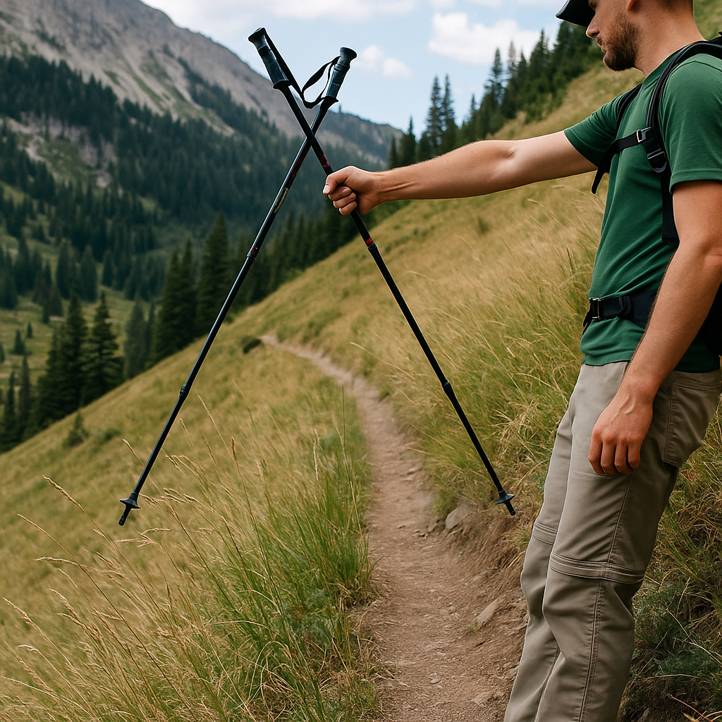
Here's a weirdly practical trick that has saved me from following a pretty, wrong line: check the slope angle like you check the weather. Not precisely, not academically. Just enough to keep you from committing to a bootleg sidehill because it "looks like a trail."
If I have a watch with an inclinometer (my Suunto has one buried in the exercise screens), I'll use it. If I do not, I still do a quick body-based check. I stand with feet shoulder-width, face straight across the slope, and see what my ankles have to do to feel stable. If I'm fighting to keep my uphill foot from rolling inward, I'm on something steeper than a maintained trail would normally choose for a long traverse. That does not mean trails never sidehill steeply. It means if the topo in your head says "easy contour," but your ankles are screaming, treat that as a red flag.
Now make it trail-specific. Most established trails manage grade by switching back or by choosing benches. When you are off-route, you end up taking the animal line, and animal lines love the fall line until they suddenly don't. If the "trail" you're following keeps drifting into the fall line (straight down) with no switchback rhythm, pause. If it hugs a steep sidehill with no evidence of water management (no outsloped tread, no drain dips, no consistent compacted footbed), pause. Those are the moments where hikers talk themselves into trouble because the line is "there," and turning around feels embarrassing.
My quick routine looks like this: pull the phone, open the offline map (Gaia GPS for me), and zoom until you can see contour spacing. I'm not doing a fancy nav fix. I'm asking one simple question: does the contour spacing where I'm standing match how my legs feel? If the map says gentle and my calves say steep, I backtrack to the last place I was confident and try a different option. The time cost is usually five minutes. The cost of pretending your ankles are lying is usually an hour and a handful of new scratches.
One more tell: if the slope is steep enough that you're instinctively planting your trekking pole uphill like a cane every step, you're not on the line you think you are. Trails can be hard, but they rarely demand that kind of constant bracing for long.
The index-card micro-route you can follow when your phone dies
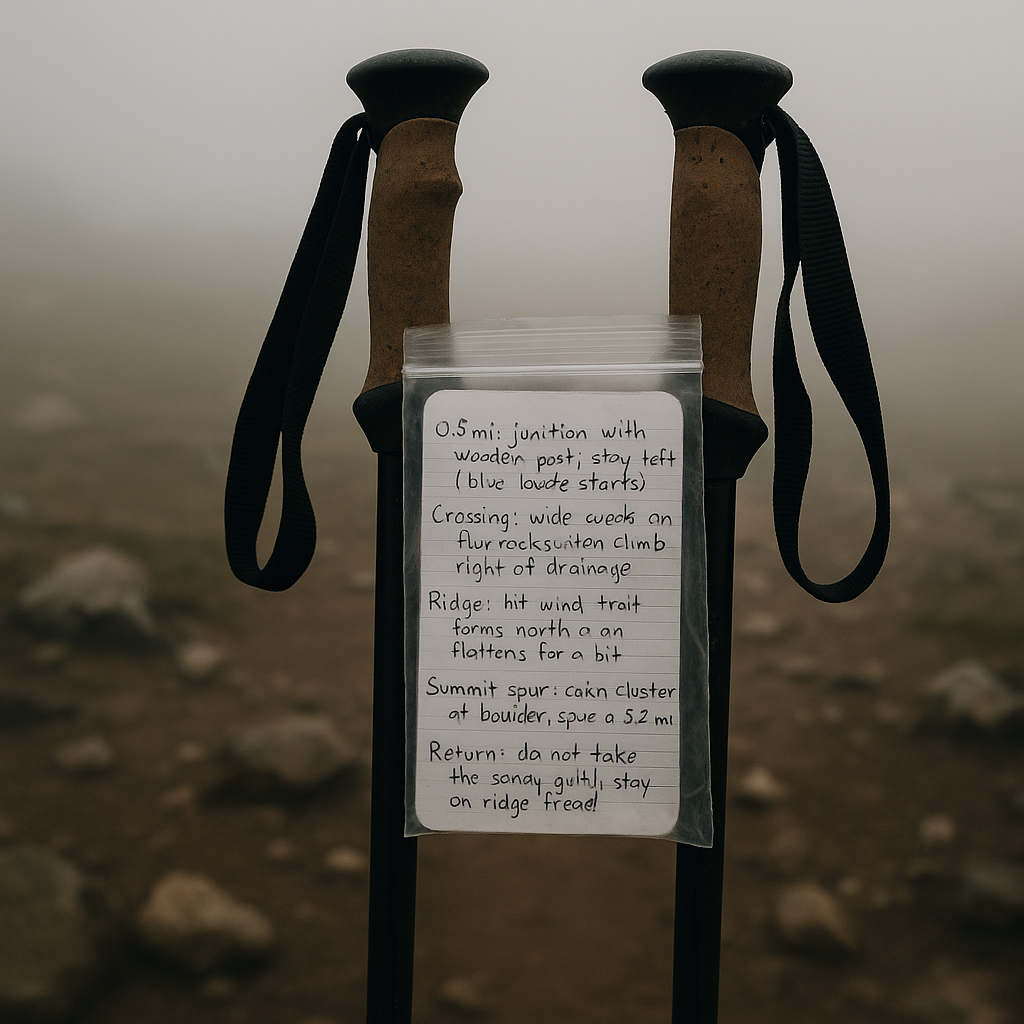
I started doing this after one too many "my phone is at 3%" moments right when the trail got messy: I carry a beat-up Field Notes card that is basically a micro-walkthrough of the day. Not a journal entry. Not a poetic thing. A tiny, ugly cheat sheet that lets me keep moving even when I'm tired, cold, or my GPS app decides today is the day it wants to refresh tiles.
Before I leave the car (or the trailhead kiosk), I write four to six bullets. Each bullet is something you can confirm in the real world without electronics. Example structure:
- 0.8 mi: junction with wooden post, stay left (blue blaze starts)
- Crossing: wide creek on flat rocks, then climb right of drainage
- Ridge: hit wind, trail turns north and flattens for a bit
- Summit spur: cairn cluster at boulder, spur is 0.2 mi
- Return: do not take the sandy gully, stay on ridge tread
Notice what's missing: no GPS coordinates, no "at the big tree" nonsense, no overconfidence. I keep it to features that survive reality: junction hardware, water, ridgelines, obvious tread changes, and the one tempting wrong option I already know is going to look inviting on the way back when I'm spacing out.
On-trail, this changes how I navigate. Instead of staring at my phone every five minutes, I'm matching the world to the card. When something doesn't match, I stop early, not late. And it gives you a clean mental reset after a wrong turn. You can say, "Okay, I'm past the creek but I never hit the windy ridge, so I'm not where I think I am," and you don't have to invent a story about how the trail must have changed.
Low-tech bonus: I write it in pencil and shove it in a snack-size zip-top bag with my permit. Rain can't smear it, and sweat won't turn it into papier-mache in my pocket. It's the most boring thing in my pack, and it's the thing I reach for when navigation stops being fun.