From topo-map thumb checks to a quick cairn scan, these are the on-trail habits that keep my hikes from turning into unplanned bushwhacks.
Do the 30-second topo "thumb check" before you move
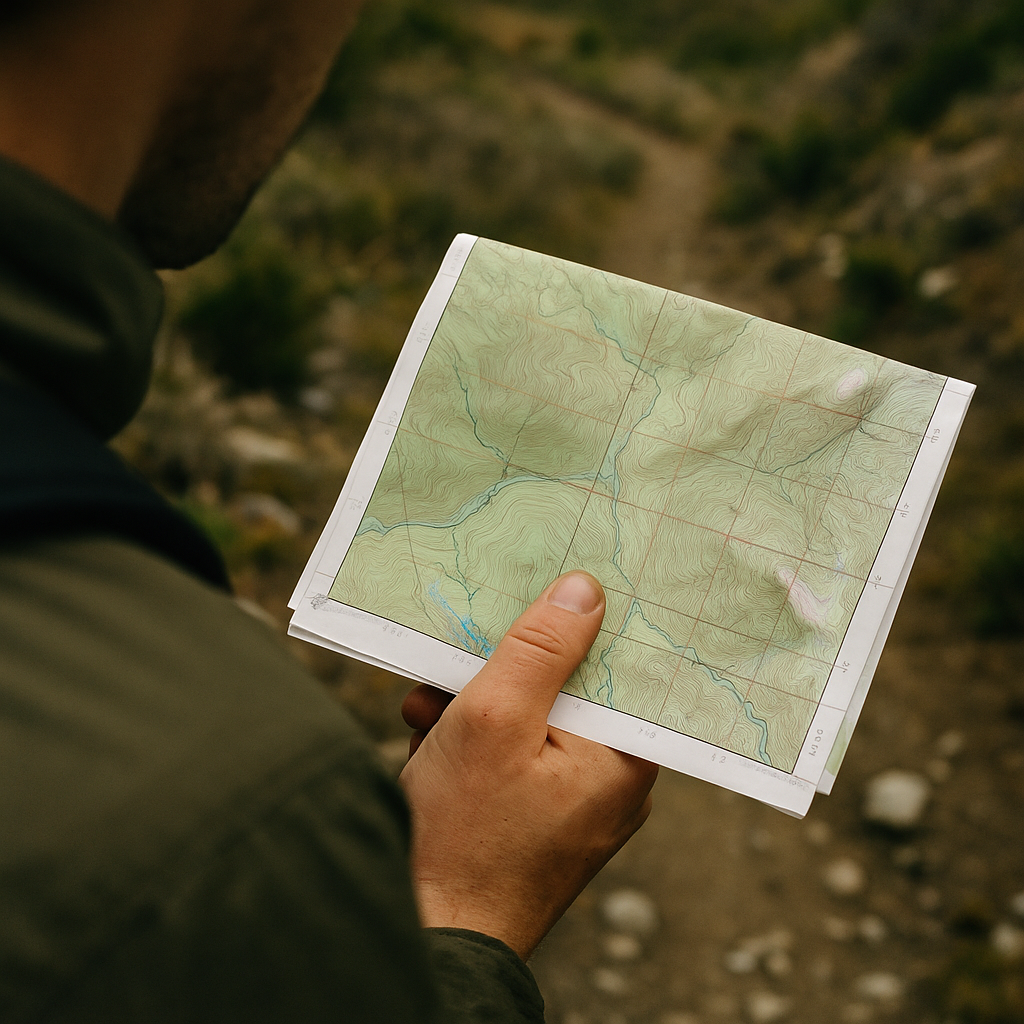
I started doing this after one of those classic mistakes: I stopped to snack, chatted with someone coming down, then walked off like I knew where I was going. Five minutes later I was side-hilling through scratchy brush, telling myself it would rejoin the trail. It did not. Now, any time the tread gets faint or I hit a confusing junction, I stop and do a quick "thumb check" with a topo map (paper USGS quad if I have it, Gaia GPS/CalTopo on my phone if I don't).
Here is the whole move: put your thumb on where you think you are, then force yourself to name three things that should be true in the next quarter mile. Not vibes. Specifics you can verify while walking. For example: "The contour lines tighten and I gain about 200 feet," "a seasonal creek crosses the trail," and "the ridge should be on my right." If I can't name three, I am not located well enough to keep moving. That sounds dramatic, but it saves time because it prevents the slow-motion drift that becomes a full reroute.
On trail, those checks are quick: glance up for the ridge, listen for water, watch your altimeter tick (a cheap Casio does the job, or the elevation readout in AllTrails if you have service). If one of the three doesn't match, I stop again immediately. I do not "give it another minute" because that's how you end up following a game trail into a drainage you never meant to enter. This is the Trails & Walkthroughs version of editing your own steps: verify, then commit.
When the tread disappears, read the ground like a detective
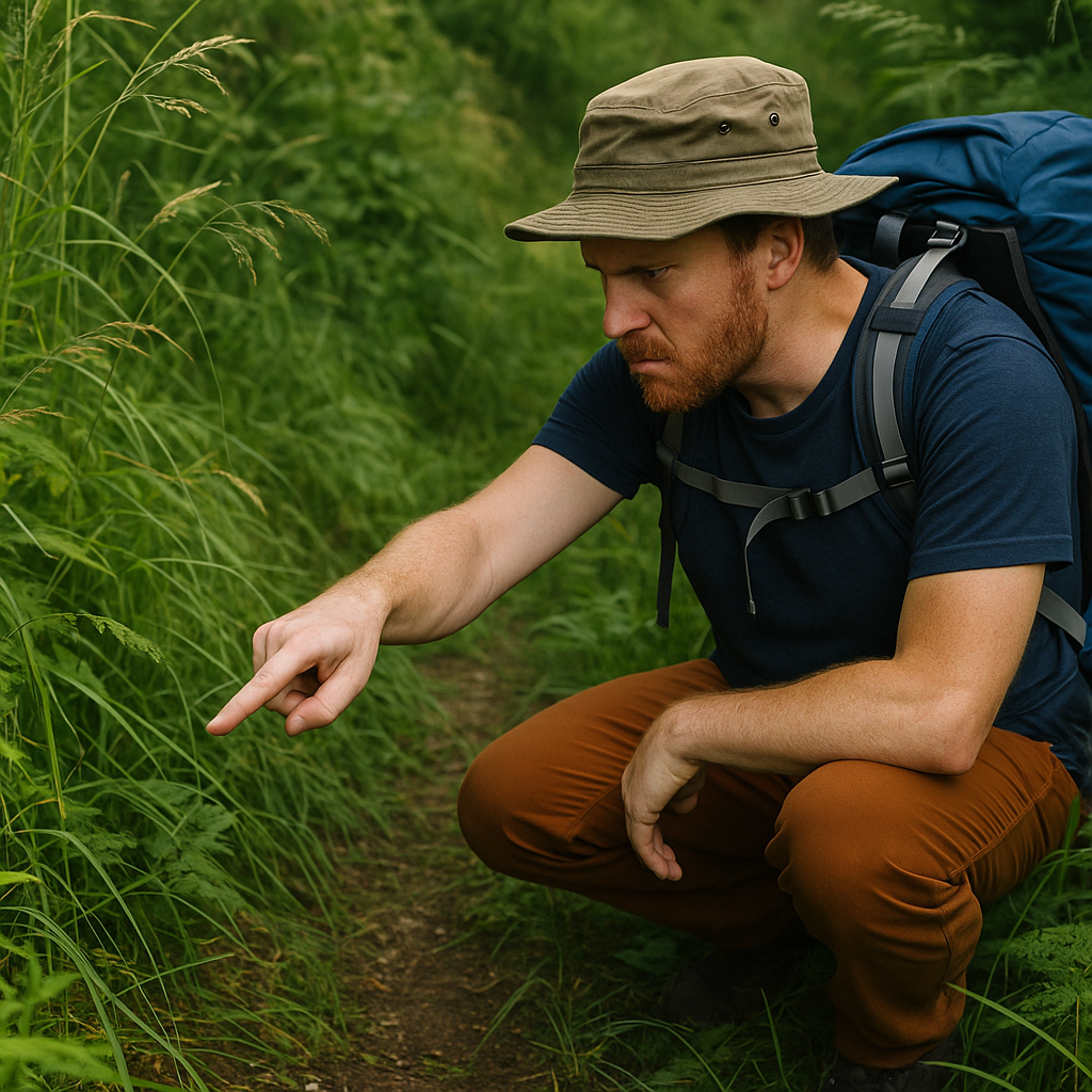
There is a specific moment when a hike turns from "pleasant" to "why am I stressed": the trail dives into tall grass or blowdown and you lose that clean ribbon of dirt. This is where a lot of people start ping-ponging, and I get it. Everything looks like it could be the route. When I'm guiding friends, this is the part where I make us slow down on purpose and look for the small, dumb clues that only show up if you stop rushing.
I scan in layers. First layer is geometry: trails like consistency. Even on old routes, the line tends to hold a steady grade and avoid the stupidest obstacles. If I'm staring at two options and one climbs straight up a loose bank while the other contours, I bet on the contour. Second layer is tread texture: compacted soil has a different sound under your shoes. On pine duff it's subtle, but you can feel it, like a slightly firmer "thunk" under the forefoot. Third layer is edge behavior: vegetation gets bent outward where people brush through. It's not obvious in photos, but in person you can spot the way stems lean, especially in morning dew when the trail corridor dries first because it gets more air movement.
Then I look for human breadcrumbs that aren't official blazes: saw-cut ends on logs (someone cleared it once), a faint line of rock kicked to the side, or the little flat pads where people stop to catch their breath. Cairns can help, but I treat them like gossip. One cairn means nothing. Three cairns that line up with the map's bearing at a spot where the route makes sense, that gets my attention.
If I'm still uncertain, I do a short "out and back" probe: walk 30 to 60 steps, then turn around and see if the path looks like a path in reverse. Real trail corridors read both ways. Random openings usually don't. It's not glamorous, but it keeps you on the intended walkthrough instead of improvising your own.
Use a "handrail" feature so you can't drift off-route
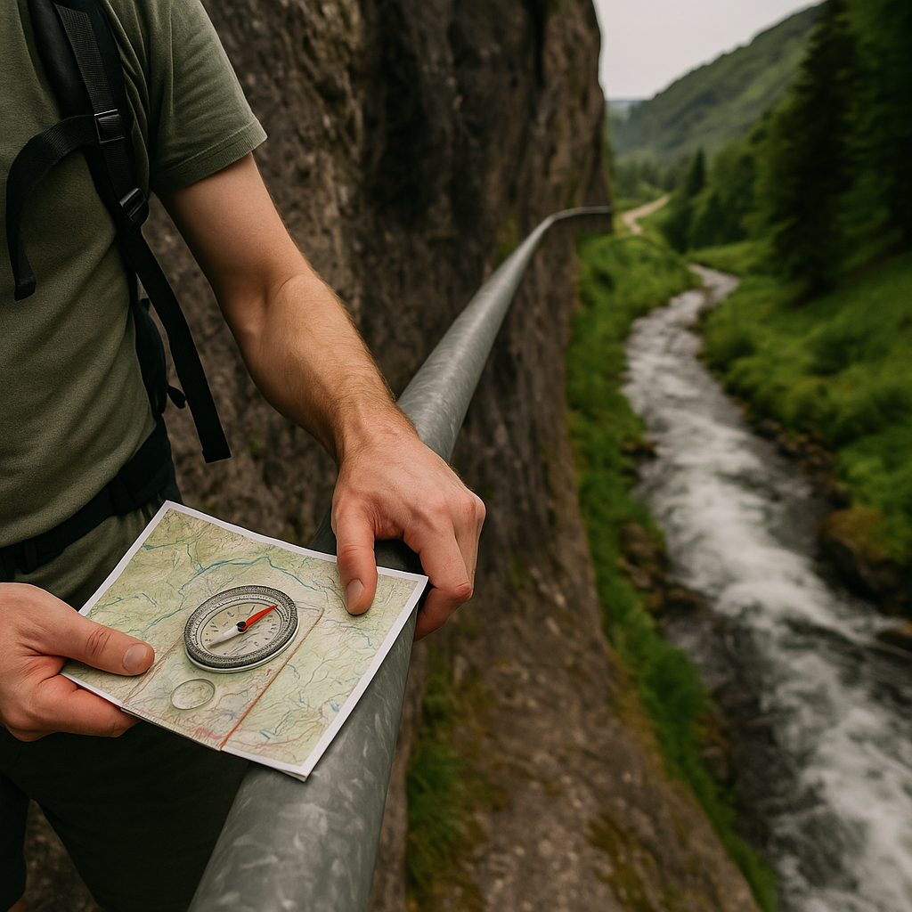
If you have ever followed a GPX track and watched your little blue dot slowly slide off it, you know the feeling: you didn't make one big mistake, you made twenty tiny ones. My fix for that is old-school and it works even when your phone is in airplane mode to save battery. I anchor myself to a "handrail" feature for the next segment, meaning a big, obvious thing in the landscape that runs alongside your route and makes it hard to wander without noticing.
Handrails are stuff like ridgelines, creek drainages, shorelines, long fence lines, or even the edge of a burn scar where the vegetation changes sharply. On a hike where the trail is braided or the junctions are unmarked, I will literally say out loud: "For the next mile, our handrail is the creek on the left," or "We stay just below the ridgeline until the saddle." It sounds nerdy. It also stops the group from taking that tempting spur that feels right for 200 yards and wrong for the next 2,000.
Here is how I set it up with map + compass without turning it into a classroom. I find the feature on the topo (blue line for water, the ridge shown by contour shape), then confirm it with my eyes on the ground. Next I choose a "catch feature" that would tell me I went too far, like a trail crossing a road, a big switchback, or a lake outlet. That way I'm not navigating by hope. I'm navigating by boundaries.
The nicest part is how it changes your pace. You stop staring at the screen every minute. You look at the terrain. You notice when the slope angle changes or when the creek sound fades, and those are real-time clues that you're drifting. In Trails & Walkthroughs terms, a handrail is the simplest walkthrough step of all: "keep the obvious thing beside you" until the map says you should turn.