
When the tread vanishes, I check three things: the barometric altimeter, a quick back bearing, and how long it took to get here.
Confirm the climb with your altimeter, not your gut
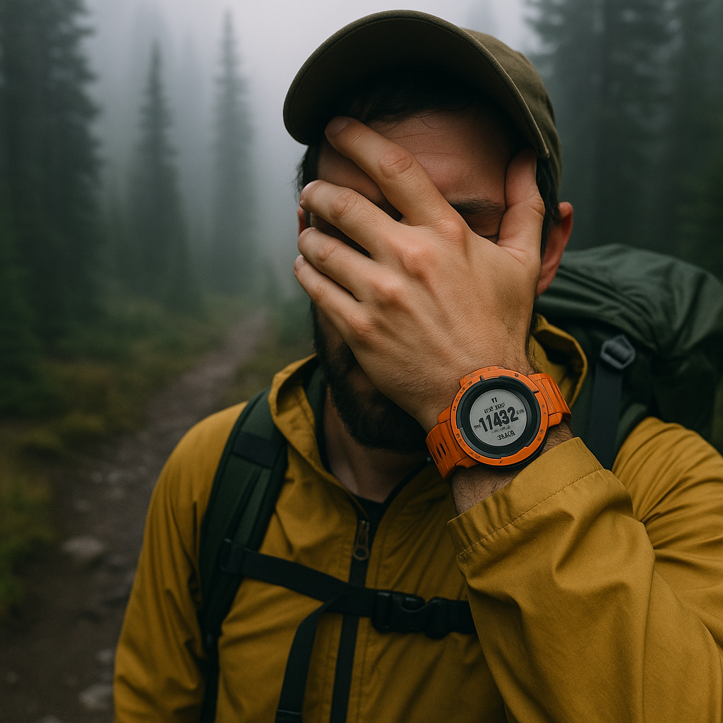
I don't use my watch altimeter to brag about vert. I use it to stop the slow, quiet kind of off-route drift that happens when the trail is vague and your brain starts filling in the blanks. If I'm on a route that should climb from, say, 6,200 feet at a creek crossing to a saddle around 6,650, I want to see that number moving the right way while I'm hunting for tread. This is especially true in timber where everything looks identical and the only "feature" is a gentle slope that could be leading you into the wrong drainage.
Before I commit to the off-and-on footprints through grass, I calibrate the barometric altimeter at a known point. A signed trailhead, a pass with a marker, even a spot elevation on a paper map if I'm confident I'm standing on it. On a Garmin Fenix or Instinct, that's a couple taps. On an inReach, you can at least sanity check with GPS elevation, but it's jumpier. Then I set a simple expectation: in the next 10 minutes, I should gain about 150 feet. Not "it feels uphill." A number.
Here's the hands-on part people skip: I watch for the altimeter lag. After a weather front rolls through, barometric readings can wander. If my watch says I'm losing 80 feet while I'm clearly climbing a shoulder, I stop treating it as gospel and re-calibrate at the next obvious spot. But most days, it's good enough to catch the big mistake: sidehilling too low because the ground looks easier. If I'm supposed to be on the bench at 7,400 and I'm still at 7,180 after a long traverse, I don't keep "hoping" the trail pops back. I turn uphill until the number matches the contour line I'm aiming for, then resume the search.
Take a back bearing before you move forward again
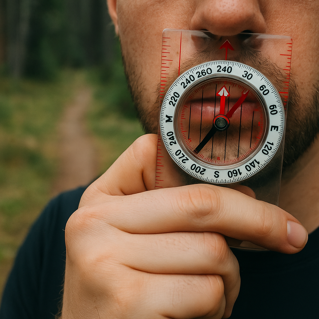
The fastest way I've found to cut panic out of a navigation wobble is to make sure I can walk back out cleanly before I go "just a little farther." That sounds obvious, but on the ground it's weirdly easy to lose your own line once you start weaving around blowdowns and skirting brush. So when the tread fizzles and I'm deciding between two faint lines, I do a back bearing check first.
This isn't the same as "use a handrail" or "drop a waypoint" (and I'm not going to rehash those). This is about keeping your return path honest. With a baseplate compass, I take the bearing to the last obvious point I trust: a switchback with cut logs, the edge of a meadow, a signed junction, whatever it is. Then I reverse it by 180 degrees and say it out loud to myself because my brain will lie later: "Back to the meadow is 240." If I'm using my phone, I do the same thing by sighting a line in Gaia GPS or CalTopo: I put the map in north-up, pick the point behind me, and note the direction I'd need to walk to hit it if visibility drops.
Now I move forward. The trick is I keep that back bearing in my pocket like a receipt. If the next 200 yards turn into a choose-your-own-adventure through elk paths and the trail still doesn't firm up, I stop and check: could I confidently walk 240 degrees and hit my known point without guesswork? If the answer is "maybe," I don't keep pushing. I go back while it's still easy to recognize the little tells, the boot scuff on a rock, the snapped twig at knee height, the exact way the ground tilts near that one stump. On a windy day in open country, those clues disappear fast.
One more practical detail: if you're on a magnetic compass, pay attention to declination. Set it once for the area and forget it, but don't wing it. When you're trying to reverse a bearing to get back to a notch in a ridge, 10 degrees off is the difference between "there it is" and "why does every ridge look like the map".
Use time as a navigation tool when everything looks the same
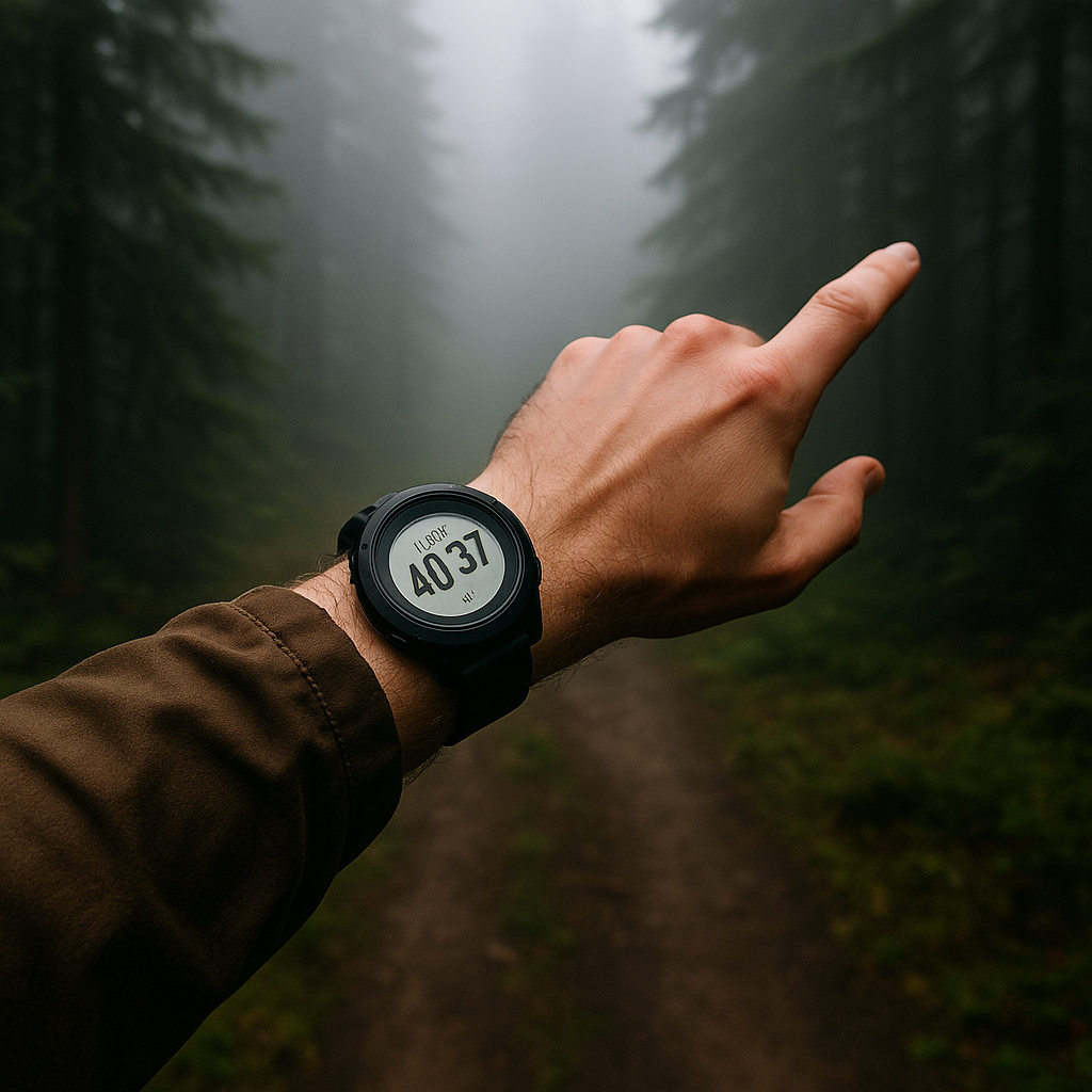
Distance lies on trails in a way that feels personal. A "short" 0.7-mile connector on the map can be a 45-minute thrash if it's steep, brushy, or full of deadfall. But time is still useful because it's tied to your body, your pace, and what the terrain is doing. When I'm unsure of my position, I use elapsed time like a rough measuring tape, especially on routes where the landmarks are subtle: long forest traverses, featureless lava flats, or those endless alpine benches that all look like the last one.
Here's how it plays out for me in real life. I leave a known point (a junction, a creek crossing, a summit register) and I start a simple lap timer on my watch. Not an app. Just a timer. I also decide what "normal" looks like for the next segment: on easy trail I might average 20 minutes per mile, on talus maybe 35, on steep off-trail 45 to 60. Then I give the segment a time budget based on the map. If the route shows I'm supposed to hit a small saddle after 0.6 miles and 300 feet of gain, I expect to see it in about 20 to 30 minutes depending on conditions.
If I'm at minute 40 and I haven't seen the saddle, I don't keep walking in the same direction purely out of stubbornness. I stop and do a three-way check: timer, elevation (barometric altimeter if I have it), and terrain match. The map might show the slope easing right before the saddle, or a drainage cutting in from the left. If I'm still climbing hard and the altimeter says I'm below the saddle's contour, fine, I'm probably just moving slow. If the timer says I'm late, the altimeter says I'm already above the saddle, and the terrain doesn't match, that's a giant blinking sign that I'm not where I think I am.
This works nicely with GPX nav without turning into "stare at the blue dot." I like to keep the phone in my pocket and only pull it when the timer triggers doubt. It's a small discipline thing: check at decision points, not every 30 seconds. Bonus: if you're recording the day in Strava, the splits after the fact teach you what your pace looks like on different surfaces, so your next time budget isn't fantasy.